
Ground Control Points (GCP) are used in aerial surveys to supply known reference locations. When measured with survey grade accuracy the use of GCP enables increased accuracy to be achieved during data processing.
GCP are a crucial element in achieving both precise Digital Terrain Models (DTM) and assessing confidence with the DTM. GCP are utilized in both photogrammetric and LiDAR surveying.
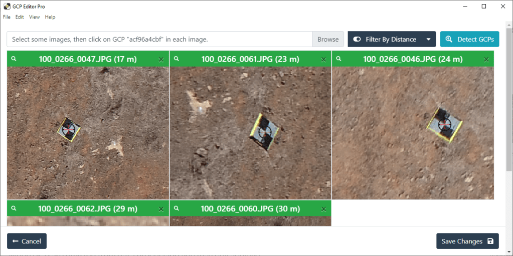
GCP are unambiguous reference locations that are clearly identifiable in aerial imagery. Their coordinates (X, Y and Z) are known and measured with survey grade accuracy. They are used as part of a Post Processing Kinematic (PPK) workflow.

A PPK workflow stitches imagery together after data capture achieving a high degree of absolute accuracy through utilisation of GCP. These reference locations are identified in multiple overlapping images. They link images at a defined pixel to a known coordinate reference in the model.
Precise spatial positioning is vital if you want the DTM to interact with other forms of spatial data. It is particularly important when time-based reconciliation is a fundamental need of the output.
When GCP are omitted from data processing, you can still achieve a model that is spatially coherent. Yet, the models true position compared to the rest of the world (i.e. precision) may be affected.
When using equipment with the Real Time Kinematic (RTK) feature, recognize one important fact. Combining PPK data processing with GCP elements offers greater accuracy. This accuracy is superior to either standalone RTK or PPK. Processing data sets without RTK or any form of GCP will yield the lowest accuracy possible. It will lack the required confidence to integrate with other survey data sets where spatial position is needed.
There are multiple factors to consider when trying to create a successful GCP network. This includes:
- design and size
- construction materials
- placement within the survey area
Furthermore, consider your drone and camera payload choice. Plan your flight and choose optimal weather conditions. Decide on the form of data processing. All these factors will contribute towards achieving a resultant survey with high absolute accuracy.


Leave a comment