
No matter the Ground Control Point (GCP), eventually it will require some form of maintenance and possibly even replacement. Consider that your GCP layout may involve a mix of designs to make best use of the inherent benefits each provide.
With GCP ideally designed as a horizontal contrasting pattern located at ground level, they invariably become covered in dust and debris, vegetation overgrowth, or the marker fades due to extended environmental exposure. However, even GCP constructed from concrete blocks will suffer wear & tear.
Typically, GCP sites should be reviewed prior to each survey, ensuring they are still fit for purpose. Don’t be caught out flying an area without first checking existing GCP, else you may require to either repeat the survey flight in the impacted area or forgo accuracy in survey control over that region.
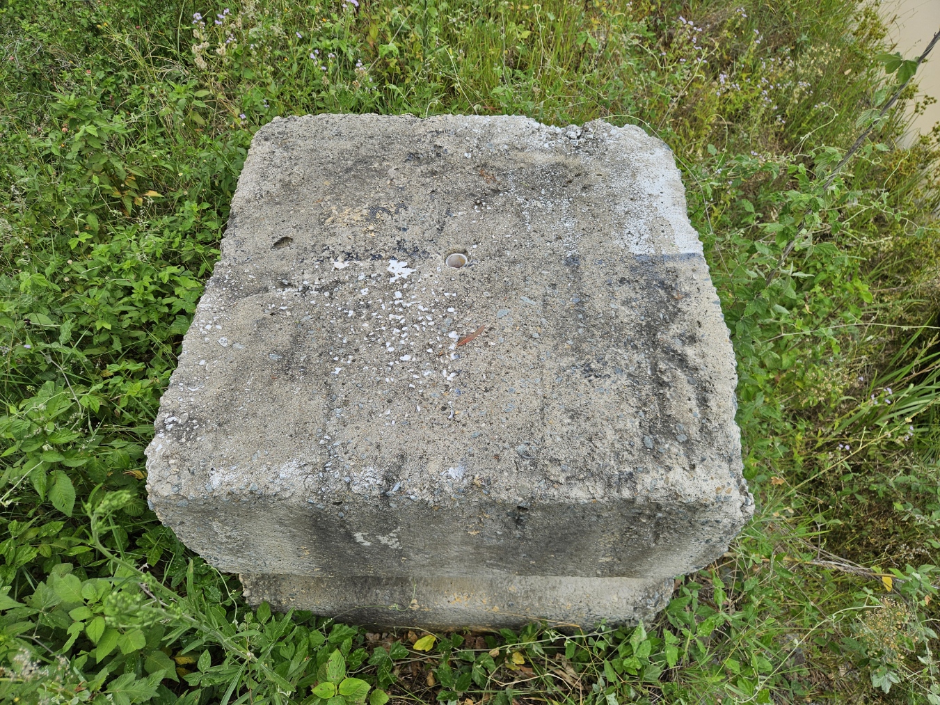

This weather worn stencil painted concrete block used as a GCP was reinvigorated by attaching a corflute GCP marker with a centrally located masonry pin. An updated survey was undertaken prior to processing to ensure accurate location referencing was available.
It is worth monitoring and recording necessary maintenance dates for each GCP site or types building a schedule on which require the most upkeep.
Unnecessary ground inspection can be avoided by creating an aerial flight path using the GCP locations as waypoints in a linear flight plan. Image capture taken at the planned flight height for each waypoint can then be visually inspected from either your RPAS controller or downloaded to another device capable of viewing imagery.
When undertaking necessary field maintenance, I find having a soft dust pan brush as a useful tool for removal of debris from the surface of a GCP. A damp cloth can also be used to remove mud, dirt, and dust on smooth surfaced GCP. Other tools like a spade and bush saw can come in handy when points are being overgrown from surrounding vegetation.
Be proactive and carry a few spare GCP in the event some are found missing during preflight checks. Replacements can be placed on the ground prior to data capture and then surveyed in before data processing, causing little disruption to a workflow.


Leave a comment